
Ever wondered if you've seen every side of New York City? Our map breaks the city into clear neighborhoods with bold color codes. It highlights uptown treasures and key spots in lower Manhattan. With just a few clicks, you get local details and history that bring each block to life. This tool is great for residents and visitors alike, offering a simple look at the city's rich mix of communities. Take a closer look and see how every corner tells its own story.
NYC Neighborhoods Map: Lively City Views
This interactive city map breaks down New York neighborhoods in plain sight. It uses simple color codes to show where one area ends and another begins. From uptown gems to hotspots in lower Manhattan, you get a clear view of our urban patchwork. The layout is easy to navigate, so you quickly see how each neighborhood fits into the city's story.
The tool even has a built-in prompt if your browser doesn't support JavaScript. If you run into that, you'll see a note asking you to enable JavaScript so you don't miss out on important details, like how you wouldn't want to skip seeing a well-known mural just because of a tech hiccup.
You can search by address or use geolocation tools to zoom in on any block in the city. Each area pops up with historical tidbits that add local flavor. With just a few clicks, you can scan street networks or focus on a specific district. This map is not only a handy guide but also a snapshot of New York's diverse history and community spirit.
Borough Breakdown on the NYC Neighborhoods Map
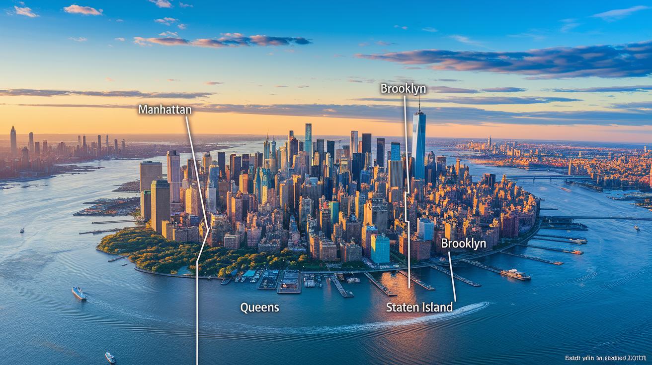
This map gives you a clear snapshot of New York City's five boroughs: Manhattan, Brooklyn, Queens, the Bronx and Staten Island. Each borough is marked with neat boundaries so you can easily recognize it. You can click on a borough to zoom in and see more about its neighborhoods, whether it's the well-known areas in Manhattan or the lively spots in Brooklyn.
This tool is handy for planning a visit, learning local history, or just checking out the city’s layout. It shows you the number of neighborhoods in each borough along with key details like area size and population, making it useful for both locals and visitors.
| Borough | Neighborhood Count | Area (km²) | Population |
|---|---|---|---|
| Manhattan | 35 | 59 | 1.63M |
| Brooklyn | 71 | 183 | 2.59M |
| Queens | 96 | 284 | 2.30M |
| Bronx | 49 | 109 | 1.47M |
| Staten Island | 57 | 151 | 0.47M |
Clicking on any borough lets you dig deeper into its district profiles and neighborhood clusters. Each click reveals local points of interest, historical tidbits, and community updates that bring the area to life. Whether you’re exploring a small street in the Bronx or the wide residential areas in Queens, this interactive map helps you discover New York City easily.
Key Neighborhood Highlights on the NYC Neighborhoods Map
Explore the map to check out neighborhoods with fun, eye-catching tags that bring each area to life. Each neighborhood has its own nickname that shows off its true character:
- Foley Square – Located in the Civic Center, this spot gets a playful tag that captures its surprising charm.
- Financial District – Right by the September 11 memorial site, this area marks a key moment in recent history.
- Tribeca – Often called the normie zone, hinting at its mix of styles and appeal.
- Chinatown – Highlighted with icons of chess players in slingback chairs, a nod to its vibrant street culture.
- Little Italy – Identified by pasta-shop symbols, showing off its crowd-pleasing, tourist-friendly vibe.
- Two Bridges – Famed for its budget-friendly spirit and popular dumpling stops, a hit among locals.
- Soho – Recognized as a hub for the affluent, reflecting its upscale culture.
- Nolita – Seen as a smaller, cozier version of Soho, offering an intimate urban feel.
- Hudson Square – Tagged with shoutouts to cool dads and SoulCycle moms, blending modern trends with community spirit.
- Essex Market – Noted for tai chi gatherings, offering moments of calm amid the city's hustle.
Printing and PDF Options for the NYC Neighborhoods Map
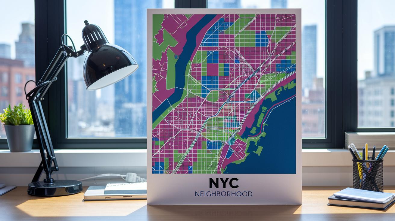
You can download a PDF from the interactive map. It gives you a ready-to-print guide that shows all NYC neighborhoods. The PDF features every street and clear color zones to mark neighborhood lines. It's great for planning events or checking the city layout at a glance.
You can also choose which layers to see. Toggle options let you switch community areas or transit lines on and off. This makes it easy to focus on the details you care about, whether it's nearby subway stops or a specific block for a walk.
For printing, two settings work best. Use A3 for a big, wall-ready map or A4 to keep on your desk. Both options maintain the detailed street network and color zones, so your printed guide stays clear and accurate.
Extra Digital Tools for the NYC Neighborhoods Map
NYC mapping tools do more than show a basic map. They add extra layers so you can see key details of every borough. For example, Hoodmaps lets you view areas sorted into groups like hipsters, tourists, rich, normies, suits, and university types. This cool feature gives you a quick look at a neighborhood’s vibe. Plus, the map now shows a global remote-work layer with coworking spots and Wi-Fi labels. It’s a handy way to find a good place to work if you’re out of the house.
There are also mobile apps that act as a real-time district locator. Some offer live transit views with MTA data, so you can check subway or bus updates on the spot. Others come with detailed guides that show local landmarks and list community events. These tools give commuters, local business owners, and visitors a fast, reliable way to navigate the busy streets and neighborhoods of New York.
Final Words
In the action, our piece walked you through the interactive Seoul neighborhoods map's layout and features with a focus on real-time usability. We covered neighborhood insights, borough breakdowns with easy-to-read data, printable options for offline use, and extra digital tools to refine your route.
This guide offers a user-friendly look at key local details and helps you plan your next move with practical tips. Enjoy exploring and using the nyc neighborhoods map to stay connected with your community.
FAQ
What does the NYC neighborhoods map PDF offer?
The NYC neighborhoods map PDF offers a printable guide with a detailed street network and clear borough boundaries for offline reference.
How does the NYC neighborhoods map on Google Maps work?
The NYC neighborhoods map on Google Maps lets you explore detailed street views, search by address, and enjoy interactive layer toggles for a comprehensive city view.
What features does the NYC neighborhoods map with streets include?
The NYC neighborhoods map with streets displays neighborhood boundaries along with precise street layouts, making it easy to plan routes or explore local areas.
How are Manhattan neighborhoods explained on the map?
Manhattan neighborhoods are explained with clear labels and local details, including historical context and boundary highlights, for a quick and clear understanding.
What details does the Brooklyn Neighborhood Map show?
The Brooklyn Neighborhood Map shows borough-specific details such as neighborhood counts, street networks, and demographic info to help you get acquainted with the area.
What additional features are included in the interactive NYC neighborhoods map?
The interactive NYC neighborhoods map includes community insights, pop-up information for areas like SoHo and Chinatown, and even references to local projects like Mercer Labs and Color Factory NYC.