
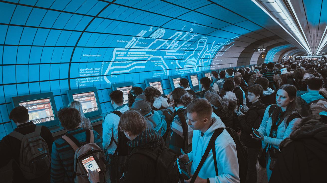
Ever notice how a splash of color can clear up a busy NYC commute? The subway map is not just a collection of lines and dots. It shows you where express stops end and local stops begin. This guide breaks down each part so you can ride with confidence. As you explore these details, your everyday journey may just become a little easier.
Core Components of the NYC Subway Map
The official MTA subway map is the go-to tool for New Yorkers. It lays out all the underground routes and gives you a clear picture of how to get around. The map uses simple color codes so you can easily follow lines sharing the same tracks. For example, trains on the same route like the 1, 2, and 3 all show up in matching colors.
Stations are marked with intuitive black and white dots that help you tell express stops apart from local ones. Solid dots mean the train stops express, while hollow dots indicate local stops. This easy system helps you decide the best station to catch your train.
You might also notice that some station names pop up more than once. There are five different stations at 23rd Street and four at 14th Street, each linked with specific train lines. Long before smartphones, many New Yorkers used printed maps to plan their rides based on details like these.
Every part of the map, from the lines to the dots and even repeated station names, works together to make traveling simpler. This guide is essential for planning your trip, finding transfer points, and keeping up with service changes in a network that serves millions every day.
Reading Color Codes and Route Lines on a NYC Subway Map

The subway map uses color codes to show which trains run on the same tracks. For instance, the 1, 2, and 3 trains are red, and the 4, 5, and 6 trains are green. This simple color trick lets you see at a glance which lines overlap.
These colored routes are laid right on top of Manhattan’s familiar street grid. You can easily match subway lines with well-known avenues and intersections. Look closely and you'll see the colored lines curving along major streets, making it simple to pick the right ride for your neighborhood.
Imagine glancing at the map and spotting a bright blue line. That color shows that the A, C, and E trains share part of their route.
The official MTA layout is designed to be clear and easy to use. With street details in the background, planning your trip is as easy as following the color trail. Whether you need to connect at a busy hub or find the train closest to your stop, this guide helps you plan quickly and with confidence.
Follow the color clues and map your trip to fit your schedule and destination.
Interpreting Station Icons and Naming Patterns
Our guide above shows that a solid circle means an express stop while a hollow circle means a local one. When checking your route, look at the line symbol next to the station name. This helps you pick the right stop if there are stations with the same name and lets you know if you need a quick ride or one with multiple stops.
Tip: When riding an express train, confirm that the filled circle matches your line symbol. This simple step helps keep your transfers on track.
The map has changed over time. It used to rely on colors and shapes, but now the dot style and line symbol work together to avoid mix-ups at busy spots like 23rd Street, where several lines run through.
Tips for transfers:
| Action | Benefit |
|---|---|
| Check both the dot style and line identifier | Helps you choose the right station |
| Use this method at major intersections | Makes planning your transfer easier |
Using an Interactive Digital Subway Map
The city's official digital map lets you zoom in on every station and line. The MTA tool and apps like Transit and Citymapper show live train updates, station details and route options. Just tap your stop to find out when the next train comes and see the platform layout.
With a touch screen, you can pan the map and zoom in for local details. You also get a list of service alerts and updated station info to change your plans on the fly. This makes your ride smoother if delays or reroutes pop up.
Many riders still keep a printed MTA PDF in their bag. The paper map is a dependable reference when your mobile data is weak. Using live updates with a backup map helps you get where you need to go.
Downloading and Printing Your NYC Subway Map
The MTA website has official PDFs for the whole system as well as for certain neighborhoods. These maps show fold lines, legends, and color keys so you can read them easily, even on the go. Visit the MTA site, pick the version you need, and save it to your computer or email it to yourself for offline use.
When printing, use letter or tabloid paper so the map folds along the marked guides. For example, print on letter-size paper and fold along the lines to get a pocket-sized version. Many riders still keep a printed map as a backup when sudden service changes happen.
Make sure your print settings keep the text clear and the colors bright. Follow the fold lines exactly to create a compact transit guide. Keeping a printed map in your bag or car means you always have reliable info at your fingertips, making every subway ride a bit easier.
map of nyc subways: Smooth Ride Ahead

Start by choosing your starting station and end stop. Then add one more step: set up a simple checklist for service alerts. This list helps you spot any changes on the printed advisories and plan a backup route fast.
- Check your start and end points.
- Mark the main transfer hubs and confirm that the same colored lines connect.
- Write down any service warnings shown on the map margins.
- List a few alternate routes if delays or changes pop up.
For example, if you’re riding on a red line, use your checklist to ensure that every transfer point is running smoothly and no service update will affect your ride. Think of it as your mini trip planner.
This way, you cover the basics and add an extra safety net to keep your commute on track.
Exploring Historical and Specialty NYC Subway Maps
Step back to the old days with rail posters from the 1930s to the 1970s. These vintage prints show the original colors and station layouts. Picture a sign that says, "Before digital maps, printed rail diagrams guided thousands around the city."
Collectors and transit fans love finding printed rail blueprints. These maps of Manhattan reveal hidden track alignments and power tunnels. They show more than just tracks, they hint at big structural decisions made decades ago.
You can find scans of these old diagrams in the MTA archives and on collector websites. They tell the story of how simple maps became the detailed guides we rely on now. Whether you’re checking out an original rail poster or a Manhattan blueprint, these maps link the past with today and highlight design choices that still shape our subway system.
Final Words
In the action, the article broke down key features of the map of nyc subways. It covered color-coded lines, station icons, and printing handy guides, each part aimed at making your rides straightforward.
We showed how to use digital tools to catch real-time updates and plan smooth routes. This clear look at the underground network helps you avoid delays and stay safe. Enjoy a smoother commute and embrace all the smart ways to get around the city.
FAQ
Printable map of NYC subways
The printable map of NYC subways provides a static, downloadable layout of the entire official transit system. It shows route lines and station markers, offering offline details for quick, practical travel reference.
NYC subway map PDF
The NYC subway map PDF is a detailed guide available from the MTA website. It includes clear legends, color coding, and fold lines for easy printing and on-the-go navigation.
NYC subway map interactive
The interactive NYC subway map delivers live updates and zoom features, giving commuters real-time train status and station information. It helps riders plan trips using digital platforms, including MTA’s official viewer and popular apps.
NYC subway map 2025
The NYC subway map 2025 reflects expected transit changes with updated routes and service information. It is designed to provide future travelers a clear view of revised station details and route paths.
NYC subway map app
The NYC subway map app offers a mobile-friendly experience with live updates and route planning tools. It allows commuters to quickly check train statuses and detailed station information wherever they are.
NYC subway planner
The NYC subway planner uses the official transit map to help riders pinpoint the best routes. It highlights transfer hubs and color-coded lines to ensure efficient trip planning throughout the city.
MTA Bus Map
The MTA bus map showcases bus routes alongside the subway system. It offers route details, stop locations, and service alerts, aiding commuters in navigating New York City’s full public transit network.
NYC subway map 2025 PDF
The NYC subway map 2025 PDF is an updated, downloadable guide that reflects future service adjustments. It includes comprehensive legends and accurate station markers, making it a reliable resource for planning journeys.